Seogi KANG
Program uses Singapore Time and is 8 hours ahead of GMT
IG Kamide Lecture/Live Q&A Mon-01 Aug 08:00 – 08:45
Multi-scale Airborne Electromagnetic Imaging for Improved Understanding of Groundwater Systems
There is increasing concerns about depletion of groundwater resources with climate change and population growth. For instance, the Central Valley of California, USA, which is one of the most productive farmland are suffering from water shortage due to combination of severe droughts and over-pumping (for maintaining the agricultural productivity). Therefore, it is urgent and important to improve our understanding about groundwater systems for sustainable management of groundwater resources. Given the functioning of the groundwater system is controlled by hydrogeologic structure such as aquifers (conduits of the flow) and confining units (barriers of the flow), without seeing this structure under the ground we cannot pursue groundwater science or management. This imaging task has traditionally been addressed by drilling wells and logging lithology or sediment type of subsurface materials. While this approach provides an accurate point information, it suffers from the low spatial density of wells and decreasing depth coverage with increasing depth due to increasing cost of drilling with depth. These limitations generate a large data gap for imaging the hydrogeologic structure. Airborne Electromagnetic (AEM) method, which provides a cost-effective way to map out hydrogeologic structure in a large region, can be an alternative approach to fill in this data gap. However, the AEM method, which images the resistivity structure of the subsurface, suffers from the limited resolution decreasing with depth and uncertain relationship between resistivity and hydrogeologic units.
Therefore, by integrating traditional in-situ well data and modern AEM data, there is a potential to improve imaging of the multi-scale hydrogeologic structure composed of large-scale and smaller-scale structures. We define “large” to be the scale at which we represent the architecture of the subsurface in terms of the boundaries between areas with significant differences in hydrogeologic properties and “smaller” to refer to the scale at which there is spatial variation in the hydrogeology within a large-scale unit. These two structures have different impacts on groundwater systems. While the large-scale structure is more important for a regional groundwater modelling, the smaller-scale structure is more important for vadose zone flow or transport of chemicals associated groundwater flow.
For imaging these multi-scale structures from AEM data and well data, in this study, we demonstrated two approaches applied at two field sites located in California, USA. The first approach was a targeted inversion for improved imaging of the large-scale structure in Kaweah Subbasin located in the Central Valley. This approach was designed for creating the large-scale structure needed for a regional groundwater modelling, and we integrated AEM data and a few high-quality well data. The major improvement was made by incorporating the prior knowledge about the target large-scale features into the imaging process. The second approach was a geostatistical simulation for improved imaging the smaller-scale structure in the Paso Robles Formation located in Salinas Valley. A geostatistical simulation called multi-point statistics was used to integrate the AEM data, the well data, and the spatial patterns. With this approach, we were able to image the smaller-scale features beyond the resolution of the AEM method.
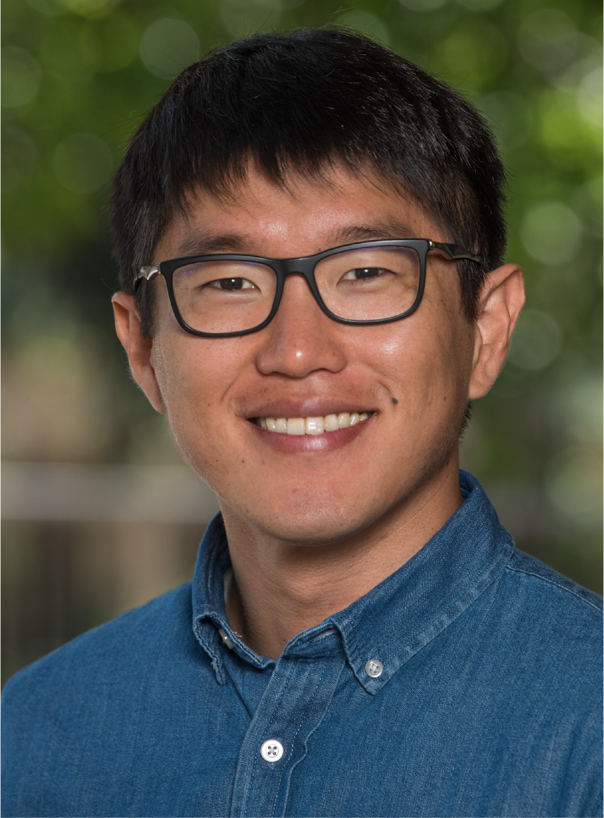
Dr. Kang completed his PhD in Geophysics at University of British Columbia, Canada, in 2018. His thesis work focused on computational electromagnetics and its application to mining problems. Currently, he is a Postdoctoral Researcher in the Geophysics Department at Stanford. His research focus is on maximizing the value of electromagnetic imaging techniques for groundwater management and groundwater science in California, USA. Dr. Kang is passionate for disseminating knowledge and increasing accessibility of scientific research. He is a co-creator of an open-source geophysical simulation and parameter estimation software, SimPEG: https://www.simpeg.xyz. He is a core contributor of GeoSci.xyz project, which is an umbrella for developing on-line educational resources in geophysics: https://www.geosci.xyz.

Seogi KANG
Geophysics Department,
Stanford University
