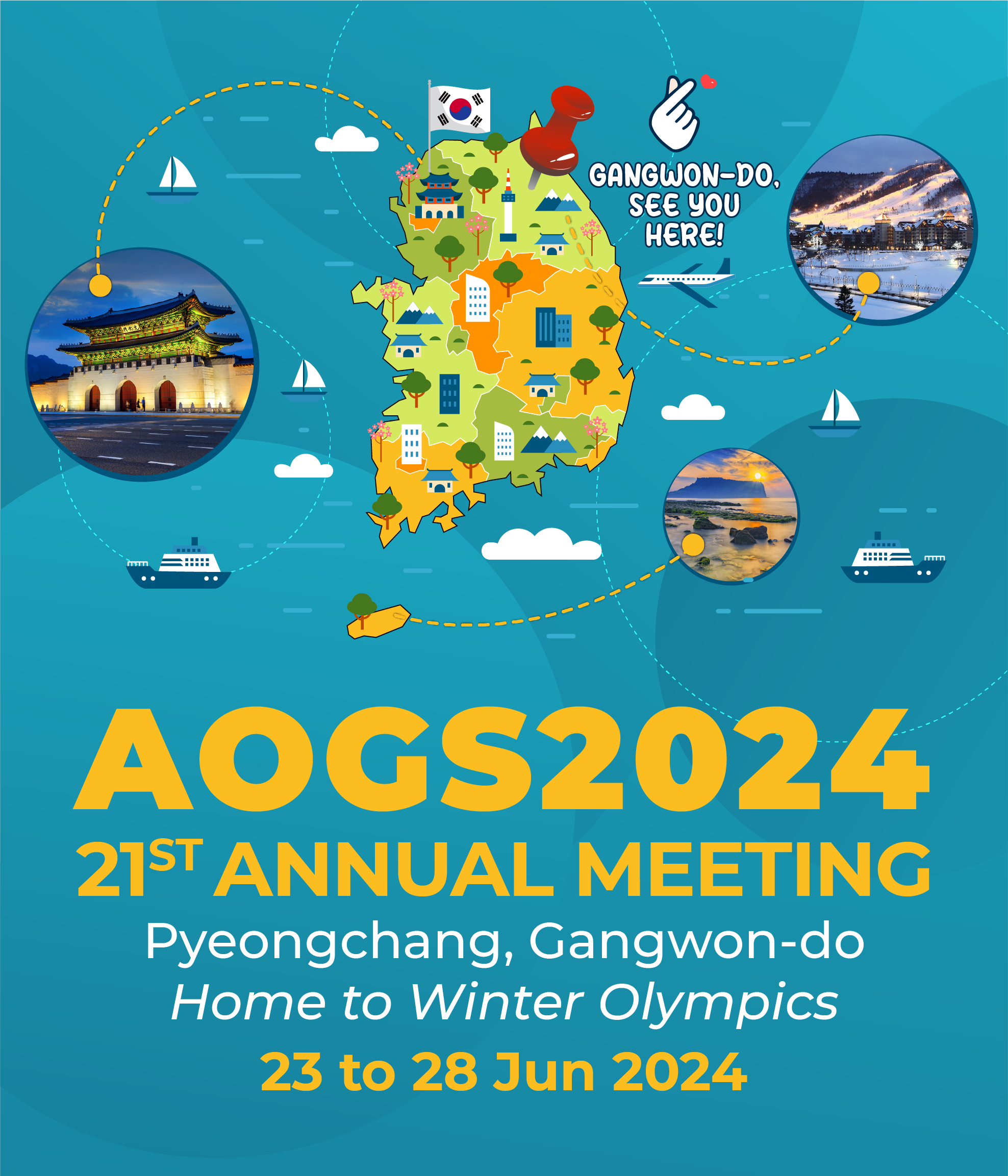
Transforming Hydrology by Integrating Remote Sensing, Modeling, and Data Sciences
Wednesday, 26 June 2024 | 2:00pm – 3:30pm
Program uses Korean standard time and is 9 hours ahead of GMT (GMT+9)

John D. Bolten
Hydrological Sciences Laboratory, NASA Goddard Space Flight Center
Water and Agriculture Management from Space – Building a Community of Practice through a Legacy of NASA Earth Observations and Tools
This presentation will provide a broad array of established and transparent tools aimed at encouraging cooperative management of transboundary waters across the globe. The overall approach is based on leveraging strategic innovations in the development of, access to, and application of satellite-based remote sensing tools to monitor water availability, water use, vegetation conditions, land use changes, assess natural resources for conservation and sustainable management, and synergistically blend these Earth observation data with socio-economic data. Where applicable, the remote sensing approaches are complemented by established NASA capacity building activities targeting governments and regional institutions with specific water and agriculture needs. This presentation will summarize several years of satellite-based Earth observing tool development, successful land surface modeling applications and studies, and established stakeholder connections that demonstrate successful improvements to the monitoring and forecasting of hydrologic and agriculture conditions for improved capacity and management. The culmination of these efforts is a robust Community of Practice focused on water and agriculture capacity building for promoting and guiding informed regional water and agriculture policy. I will discuss some successes, lessons learned, and future possibilities through the lens of state-of-the art of water and agriculture applications for more informed transboundary water governance.