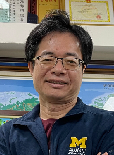
Yuei-An LIOU
National Central University
Dr. YUEI-AN LIOU received the B.S. degree in electrical engineering (EE) from the National Sun Yat-sen University (NSYSU), Taiwan; and M.S.E. degree in EE, M.S. degree in atmospheric and space sciences, and double Ph.D. degree in EE and atmospheric, oceanic, and space sciences from the University of Michigan, Ann Arbor, USA. Dr. Liou is a Distinguished Professor, Academician, and Head of Hydrology Remote Sensing Laboratory, Center for Space and Remote Sensing Research, National Central University, Taiwan; Founding President, Taiwan Group on Earth Observations (2010/8~); Honorary President, Vietnamese Experts Association in Taiwan (2021/11~). Dr. Liou received numerous awards as Honorary Life Member, Korea Society of Remote Sensing in 2007, Foreign Member, Prokhorov Russian Academy of Engineering Sciences in 2008; Outstanding Alumni Award, NSYSU in 2008; Academician, International Academy of Astronautics in 2014; Fellow, The Institution of Engineering and Technology in 2015; Crystal Achievement Award in 2019/11, Vietnam Academy of Science and Technology; Outstanding Research Award, Ministry of Science and Technology in 2019; Honorary Chair, National Marine Museum of Science and Technology, Ministry of Education in 2021; and Outstanding Award, Vietnam Economic and Cultural Office in Taipei in 2021. He is a corresponding author of one most downloaded paper recognized by the PEPS of JpGU in 2021 and two highly cited papers recognized by Web of Science in 2021 & 2022.
IG Distinguished Lecture | 31 July (Mon) 08:15 AM – 10:00 AM | Level 3 MR333
Hydrological Hazards and Environmental Issues by using Remote Sensing and Artificial Intelligence Techniques
Abstract: In recent years, the Earth's ecosystems have been significantly suffering from the pervasive and growing threat of climate change; and the natural cycles of the earth and radiative budget of the atmosphere have been modified by the rapid rise in population, industrialization, vehicular emissions, land-use/land-cover changes, and other anthropogenic activities. The sudden rise in global temperature has been observed; and the hydrological cycle of the earth has suffered pronounced changes due to melting glaciers, rising sea-surface temperature, and changes in cloud properties in recent decades. Accordingly, the rise in intensity and frequency of various natural hazards such as uneven distribution of rainfall, droughts, floods, cyclones/typhoons/hurricanes, forest fires, and others can be readily observed all over the world. The natural resources, economy, and infrastructure from the regional to global scale are suffering major obstructions due to the named extreme events. There is an urgent need for the development of improved and innovative monitoring and assessment techniques and technologies to understand the fast-evolving variable climatic conditions for planning mitigation strategies. The current remote sensing techniques provide enhanced spatial and temporal coverage of earth observation and the improved artificial intelligence (AI) techniques have strengthened the monitoring and assessment capabilities by many folds.
We have implemented and developed remote sensing and AI techniques for the analysis of various hydrological hazards (hydro-hazards) and environmental issues. New indices Normalized Difference Latent Heat Index (NDLI) and Temperature-Soil Moisture Dryness Index (TMDI) were introduced for remote sensing analysis of surface water availability (soil moisture and evapotranspiration) and thermal state. These indices have shown their advantages over the other conventional indices and can be also used in drought assessment. Droughts that occurred in some countries, such as Ethiopia, India, Mongolia, and Taiwan have been studied. Tropical cyclones cause large-scale destruction to human life and infrastructure and most coastal regions are prone to the landfall of tropical cyclones around the world. By using remote sensing data and AI techniques, the assessment of typhoons' landfall vulnerability in Vietnam and Taiwan was carried out. Also, the impact of climate change on typhoons' cyclogenesis, tracks, and intensity over the Northwestern Pacific Ocean Basin was investigated to advance their forecast and reduce their potential threat and damage to society. With the improved skills in quantitatively assessing the impacts of hydro-hazards, more applications by using remote sensing and AI technologies may be explored and advanced, such as flooding depth, agricultural damage, food security, urban greenspace eco-services, public health, regional-to-global eco-environmental vulnerability assessment, etc. The abovementioned technological achievements are useful in the management of various earth resources, and environmental protection with low cost and better coverage. They will also help the scientific community and policymakers in the planning of a sustainable and resilient society.